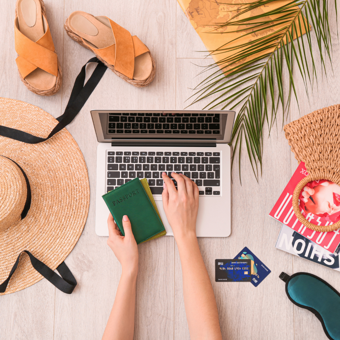

How to Make the Most of Your Travel Budget: Maximising Your Experience without Overspending
Travelling can be an enriching experience, but managing finances effectively is crucial to maximising enjoyment without overspending. To make the most of a travel budget, one must prioritise planning and research to find the best deals on accommodation, transport, and activities. This approach allows travellers to explore more while spending less.
Making wise choices regarding dining and local experiences can further enhance a trip. Often, enjoying street food or dining at local eateries provides a taste of culture at a fraction of the cost. By budgeting for key experiences and being flexible with plans, they can create memorable moments without straining their finances.
Learning to navigate discounts and utilise travel apps can also lead to significant savings. Whether it’s booking flights in advance or using public transport, these strategies ensure that a travel budget stretches further while still allowing for a fulfilling adventure.
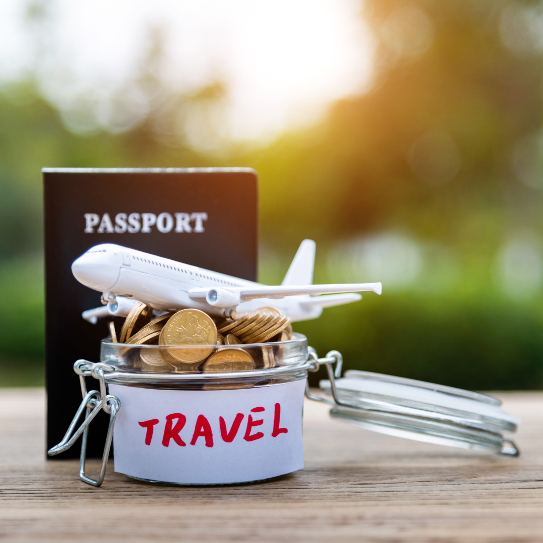
Planning Your Travel Budget Effectively
Effective travel budget planning involves setting a realistic budget, identifying budget-friendly destinations, and taking advantage of early booking discounts. Each of these steps plays a vital role in ensuring that travel expenses remain manageable while maximising the travel experience.
Setting a Realistic Budget
To set a realistic travel budget, individuals should begin by assessing their finances. Listing all sources of income and existing expenses can provide clarity.
Once they have a clear picture, it’s essential to determine how much can be allocated to travel without compromising other financial obligations.
Consider the following factors:
- Accommodation: Determine the type of lodging preferred. Hostels and budget hotels often save money.
- Transport: Account for flights, local transport, and any rental vehicles needed.
- Daily Expenses: Include food, activities, and miscellaneous costs.
Creating a detailed spreadsheet can help in tracking anticipated spending. It is advisable to add a buffer for unexpected costs.
Researching Budget-Friendly Destinations
Identifying budget-friendly destinations can significantly affect the overall travel budget. Several regions around the world offer a rich experience without high costs.
Key criteria to consider include:
- Cost of Living: Countries with lower living costs often translate to cheaper accommodations and meals.
- Currency Exchange Rates: It’s beneficial to choose destinations where the traveller’s currency holds value.
- Special Deals: Look for off-peak travel times when flights and hotels are typically cheaper.
Resources like travel guides and budget travel websites can provide useful insights.
Booking in Advance for Better Deals
Booking in advance can lead to substantial savings. Many airlines and hotels release discounted rates ahead of time, making early reservations advantageous.
Tips for effective advance booking include:
- Set Alerts: Use price alert tools to monitor flight deals.
- Flexible Dates: If able, travelling during weekdays rather than weekends can result in cheaper tickets.
- Package Deals: Consider bundled packages that include flights, accommodation, and even activities.
By planning ahead, individuals can take advantage of the best available offers while maximising savings on travel expenses.
Maximising Savings on Transport and Accommodation
Saving on transport and accommodation can significantly stretch a travel budget. By carefully considering flight options, accommodation types, and public transport methods, travellers can optimise their overall costs.
Finding Cheap Flights and Low-Cost Airlines
To secure affordable airfare, it’s essential to compare different flight options. Use flight comparison websites, such as Skyscanner or Kayak, to find the best deals across multiple airlines.
Low-cost airlines often provide cheaper alternatives to traditional carriers. However, it’s important to read their policies, as additional fees for baggage or seat selection can add up. Booking flights well in advance can also yield better prices.
Travellers should remain flexible with their travel dates. Flying mid-week or during off-peak seasons typically reveals the most savings. Setting price alerts can help track fare changes, allowing for a timely purchase when prices drop.
Choosing Affordable Accommodation Options
Accommodation can be a significant expense, but several alternatives exist. Hostels are a budget-friendly choice and often provide communal facilities, ideal for meeting other travellers.
Airbnb offers unique stays at various price points, allowing guests to experience local living. When searching, focus on locations slightly outside major tourist areas, where the cost of living is lower.
Utilising city passes can also provide savings. These passes often bundle accommodation with local attractions, transportation, and discounts on experiences. Always check reviews to ensure the quality of the chosen accommodation, as an inexpensive option may not always offer good value.
Making the Most of Public Transport
Public transport is a cost-effective way to navigate cities. Many urban areas have extensive networks of buses, trams, and trains. Understanding the system before arrival can lead to smoother and cheaper travel.
Purchasing a travel card or city pass can offer significant savings on public transportation. Many cities provide options for unlimited travel within set timeframes.
Consider walking when distances are short. This not only saves money but also provides the opportunity to explore areas that may not be on typical tourist paths. Leveraging apps for real-time schedules can further enhance efficiency and save time during travel.
Smart Spending and Daily Cost Management
Effective travel budgeting requires strategic choices in daily spending. Focusing on local currency management, inexpensive dining options, free activities, and mindful souvenir purchases can significantly enhance the travel experience while preserving funds.
Managing Local Currency Wisely
Using local currency effectively can prevent overspending. Currency exchange rates fluctuate, so travellers should monitor them and exchange money at favourable rates when possible.
Tips for managing local currency:
- Exchange Sparingly: Avoid exchanging large sums at airports. Instead, use local banks or ATMs.
- Understand Denominations: Familiarise yourself with local notes and coins to avoid confusion. This knowledge aids in budgeting daily expenses.
- Track Expenses: Keep a daily record of spending to stay within budget. Apps can help manage expenses and currency conversions in real time.
Eating Local and Street Food
Eating local food and street food offers authentic culinary experiences at lower prices. Street vendors often provide versatile, flavourful options.
Strategies to maximise food spending:
- Research Popular Spots: Seek out well-reviewed street food stalls. Local recommendations or food blogs can direct travellers to the best places.
- Try Smaller Portions: Sampling multiple dishes can be affordable. Many street food vendors offer smaller servings at lower prices.
- Dine Where Locals Eat: Avoid tourist trap restaurants. Eating where locals frequent often results in better quality and lower costs.
Prioritising Free and Low-Cost Activities
Many destinations offer a wealth of free or low-cost attractions. Enjoying these options allows for a fulfilling experience without financial strain.
Ideas for low-cost activities:
- Explore Parks and Public Spaces: Many cities have beautiful parks or gardens. They provide an excellent opportunity for relaxation and exploration.
- Attend Free Events: Festivals, concerts, or exhibitions often have free entry. Check local event calendars for current happenings.
- Use Guides and Maps: Self-guided walking tours can reveal hidden gems. Many cities provide free maps and guides to point out must-see sites.
Avoiding Overspending on Souvenirs
Souvenirs are a way to remember a trip, but they can quickly eat into a budget. Mindful purchasing helps to keep spending in check.
Ways to shop smart for souvenirs:
- Set a Souvenir Budget: Before shopping, determine a fixed amount to spend. This prevents impulsive purchases.
- Look for Local Artisans: Choosing handmade items supports local craftsmen. They often provide unique alternatives to mass-produced souvenirs.
- Consider Experiences Over Items: Memories last longer than trinkets. Opt for experiences like a cooking class instead of traditional souvenirs when feasible.
Additional Tips for Travelling on a Budget
Making the most of a travel budget requires strategic planning and awareness of various opportunities. Efficient packing, considering travel insurance, and exploring unique programmes can enhance the experience while keeping costs in check for both solo travellers and groups.
Travel Packing for Efficiency and Savings
Efficient packing allows travellers to avoid excess baggage fees and carry only what is essential. Creating a packing list ensures that nothing necessary is forgotten.
- Clothing: Choose versatile clothing items that can be layered and mixed. Lightweight, wrinkle-free fabrics are ideal.
- Footwear: Pack one pair of comfortable walking shoes and perhaps sandals.
- Toiletries: Opt for travel-sized products or consider solid alternatives, such as shampoo bars, to save space and weight.
- Tech Gear: Limit electronics to essential devices. A universal adapter can also reduce the number of chargers needed.
Ultimately, keeping luggage light and organised contributes to easier movement and reduced expenses.
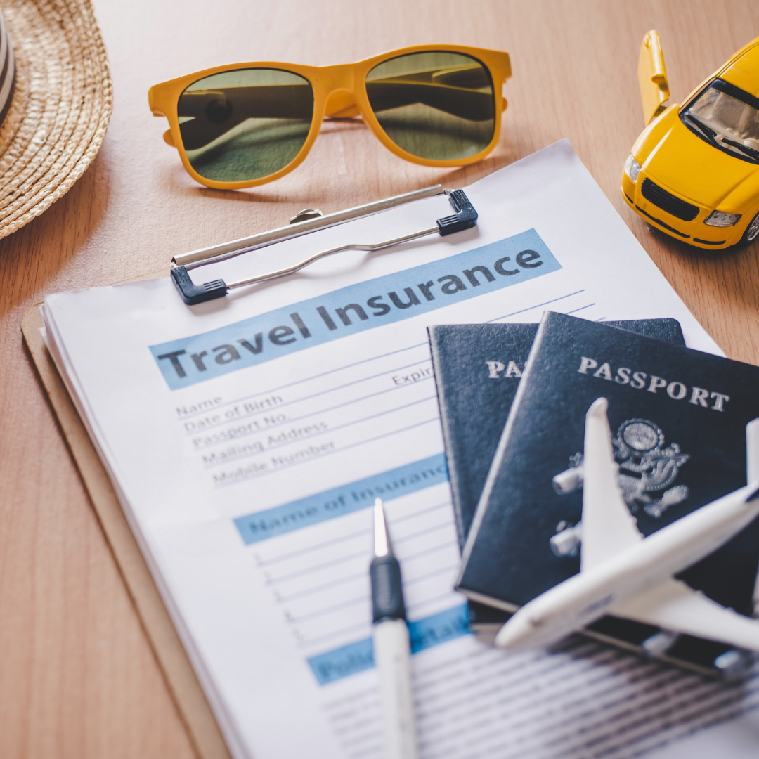
Considering Travel Insurance
Travel insurance is a vital part of budget travel that many neglect. It safeguards against unexpected expenses related to trip cancellations, lost luggage, or medical emergencies.
- Types of Insurance: Options vary from basic to comprehensive coverage. It’s crucial to assess one’s needs based on the destination and activities planned.
- Cost Comparison: Using comparison websites can reveal significant differences in pricing. This allows for informed decision-making regarding the best option fitting within a travel budget.
- Peace of Mind: Knowing that travel-related issues are covered can allow a traveller to enjoy experiences without undue financial concerns. A small upfront cost can save a considerable amount in the event of mishaps.
Exploring Unique Budget Opportunities like WWOOFing
WWOOFing (World Wide Opportunities on Organic Farms) offers a unique way to travel affordably while gaining knowledge about organic farming practices. This experience combines work and accommodation, often in beautiful locations.
- Work Exchange: Participants typically work for a few hours each day in exchange for food and lodging. This can reduce overall travel costs significantly.
- Cultural Immersion: Engaging with locals and understanding farming practices provides a rich cultural experience, making the travel more meaningful.
- Flexibility: Many farms welcome travellers on short notice, enabling spontaneous travel plans that adapt to the individual’s budget.
WWOOFing serves as an innovative way to travel while simultaneously learning and contributing to sustainable practices.
Best Practices for Solo and Group Budget Travel
Travelling alone or in a group can yield different budget experiences, but sharing tips enhances savings.
- Solo Travel: Opt for hostels or shared accommodations to keep costs down. Joining group tours can also provide safe options at reduced rates.
- Group Travel: Pooling resources for accommodation and transportation can lead to significant savings. Booking in advance often secures lower prices.
- Meal Planning: Cooking meals collectively can be a fun and economical choice for groups. Purchasing groceries instead of dining out allows for greater control over spending.
- Flexible Itinerary: Both solo travellers and groups benefit from remaining flexible. Changes in plans can lead to unforeseen savings or opportunities.
Using these practices can make both solo and group trips more affordable and enjoyable.